
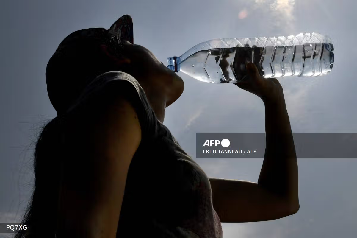
El Niño alerts have been issued for some time, but the phenomenon has attracted more public attention recently, possibly due to a combination of the ongoing heatwave across Nigeria and projections that the event could contribute to 41,300 heat-related deaths.
The report said globally, El Niño could cause 451,000 deaths from extreme heat during the first nine months of the weather phenomenon, from June to February.
But what exactly is this fancy word “El Niño” and why is everyone talking about it?
MAKING SENSE OF EL NIÑO
El Niño is a Spanish word meaning “the little boy”, derived from El Niño de Navidad, which translates to the “Christ Child”, because it was during the December period.
The name was coined by fishermen off the coasts of Peru and Ecuador, who observed unusually warm ocean water around Christmas. Meteorologists later adopted the term to describe a climate pattern associated with unusually warm water in parts of the Pacific Ocean, while its opposite, La Niña, meaning “little girl” in Spanish, refers to cooler-than-usual sea surface temperatures.
To understand El Niño, one has to be conversant with the word El Niño-Southern Oscillation (ENSO). This refers to the natural climate pattern in the tropical Pacific Ocean that causes changes in ocean temperatures and wind patterns, affecting weather in different parts of the world.
There are three phases of ENSO, which include El Niño (warmer sea surface), La Niña (cooler sea surface) and the neutral phase — when neither El Niño nor La Niña is occurring.
If you paid attention to your geography teacher in secondary school, you may remember learning about trade winds and how they influence rainfall and weather conditions, including the harmattan season.
Those same trade winds play a crucial role in the ENSO — a natural climate pattern in the Pacific Ocean.
During El Niño, the trade winds weaken, allowing warm surface water that would normally pile up in the western Pacific to move eastwards towards South America.
During La Niña, the trade winds become stronger than usual, pushing warm surface water further towards the western Pacific and allowing cooler water to rise to the surface in the eastern Pacific.
During the neutral phase, the trade winds blow under normal conditions, pushing warm surface water towards the western Pacific while cooler water rises to the surface in the eastern Pacific.
These changes in ocean temperatures and atmospheric circulation influence weather patterns in different parts of the world.
El Niño events generally occur every two to seven years and usually last between nine and 12 months. The last time it happened was from 2023 to 2024.
Scientists classify them as weak, moderate, strong or very strong, depending on how the ocean and atmosphere behave.
Hence, the term “Super El Niño” is not scientifically accurate but is used informally to describe an exceptionally strong El Niño event.
The World Meteorological Organisation (WMO) said the El Niño event developing in 2026 is expected to become one of the strongest, with its effects likely to continue into 2027.
The agency warns that the event could change rainfall and temperature patterns, increasing the risk of extreme heat, drought and flooding in different parts of the world.
The impacts of El Niño vary across countries. In West Africa, it can be associated with below-average rainfall in parts of the Sahel, increasing the risk of dry conditions and drought. In southern Africa, it can heighten the risk of drought, particularly between December and February. In eastern Africa, countries such as Kenya may experience above-normal rainfall and an increased risk of flooding.
EL NIÑO IN NIGERIA AND WHY YOU SHOULD CARE

Nigeria is thousands of kilometres away from the Pacific Ocean. So, why should Nigerians be concerned about El Niño?
The answer lies in how interconnected the earth’s climate system is. Changes in sea surface temperatures in the tropical Pacific can influence atmospheric circulation, shifting weather patterns in different parts of the world. However, El Niño is not the only factor that determines Nigeria’s weather. The West African monsoon, which brings moisture-laden winds from the Atlantic Ocean, also plays a major role in determining the timing, intensity and distribution of rainfall across the country.
In August, the Nigerian Meteorological Agency (NiMet) issued an updated seasonal climate forecast, saying that observations of the Pacific Ocean indicated the onset of a strong El Niño event, which was expected to influence global climate patterns.
“Analysis of the most recent ocean observations confirms the onset of a strong El Niño event in 2026,” NiMet had said.

The agency noted that rainfall patterns could vary across Nigeria, with wetter-than-normal conditions expected in parts of the north and drier-than-normal conditions in parts of the south.
Sokoto, Kebbi, Zamfara, Katsina, Kano, Yobe, Borno, Bauchi and Jigawa are among the northern states projected to receive above-average rainfall, while Oyo, Ogun, Osun, Ekiti, Edo and Delta could experience below-average rainfall. Parts of Kogi and Benue may also experience drier conditions.
It is important to note that above-normal rainfall does not equate to heavy rain or flooding every day. It means the total rainfall expected during a particular period is higher than the long-term average for that location.
For instance, if a location typically receives 500 mm of rain during a season but the forecast indicates 600 mm, that would be above-average rainfall. The additional rain might fall during a few intense downpours rather than being evenly distributed throughout the season.
These changes could have implications for agriculture, water resources, electricity generation and public health. Reduced rainfall could leave crops without sufficient moisture, especially during critical growth stages, potentially lowering yields and worsening food insecurity.
Above-average rainfall could cause flooding, damage farmland and disrupt agricultural activities. Farmers may need to adjust planting schedules, consider drought-tolerant and early-maturing crop varieties, and follow local weather and agricultural advisories.
Prolonged dry conditions could also reduce water flowing into rivers, streams, reservoirs and dams, putting pressure on household water supplies, irrigation and industrial use. Lower reservoir inflows could affect hydropower generation, potentially increasing reliance on thermal power plants.
Public health risks could also change with rainfall and temperature patterns. Flooding can contaminate drinking water and increase exposure to waterborne diseases, including typhoid. Stagnant water can create breeding grounds for mosquitoes, potentially increasing malaria transmission. Extreme heat poses additional risks, particularly for children, older people, pregnant women and outdoor workers.
However, these are potential impacts, not guaranteed outcomes. El Niño does not affect every Nigerian state in the same way, and its influence interacts with the West African monsoon and other regional weather systems.
STAYING SAFE DURING EL NIÑO

With the Climate Lab projections warning of potentially deadly heat associated with El Niño, taking practical steps to protect yourself and your family is essential.
The projected heat-related deaths are estimates of potential impacts, not certainties. The actual toll will depend on how temperatures evolve, people’s exposure to heat and the measures taken to protect vulnerable populations.
With temperatures reaching between 34°C and 41°C in parts of Nigeria in recent times,, pregnant women, children, older people and outdoor workers may face increased risks of heat-related illnesses. Taking precautions can help reduce these risks.
Here are seven ways to stay safe during periods of extreme heat.
1. Drink water regularly
Do not wait until you feel thirsty before drinking water. Carry drinking water when travelling or working outdoors, and drink regularly throughout the day.
People who sweat heavily may need to replace fluids more frequently. However, people with medical conditions that require them to limit fluid intake should follow their healthcare provider’s advice.
2. Avoid the hottest part of the day
Where possible, reduce strenuous outdoor activities during the hottest hours, particularly around midday and early afternoon.
Outdoor workers, including traders, construction workers and military personnel, should take regular breaks in shaded or cool places. Employers should also provide access to drinking water, rest breaks and shaded areas to reduce workers’ exposure to extreme heat.
3. Wear lightweight clothing
Loose-fitting, lightweight clothing can help the body regulate its temperature. Wearing a hat and carrying an umbrella can provide additional shade when outdoors.
Apply sunscreen to exposed skin to help protect against ultraviolet radiation. However, sunscreen does not prevent heat exhaustion or heatstroke, so other precautions remain necessary.
4. Keep your home as cool as possible
Close curtains or blinds to block direct sunlight during the hottest parts of the day.
Where it is safe to do so, open windows when outdoor air is cooler to improve ventilation. Fans may improve comfort, but they may not provide sufficient protection when temperatures become dangerously high.
If your home becomes excessively hot, consider spending time in a cooler building, where possible.
5. Check on children and older people
Children and older adults can be particularly vulnerable to heat-related illnesses. Pregnant women and people with certain underlying health conditions may also face increased risks.
Check regularly that vulnerable family members are drinking enough fluids, staying cool and feeling well.
Never leave a child or another vulnerable person in a parked vehicle, even for a short period. Temperatures inside vehicles can rise rapidly and become life-threatening.
6. Recognise the warning signs of heat-related illness
Heavy sweating, headache, dizziness, nausea, weakness and muscle cramps can be signs of heat exhaustion.
If someone develops these symptoms, move them to a cooler place, loosen unnecessary clothing and help cool their body with cool water, wet cloths or other available cooling methods.
Confusion, seizures, collapse or loss of consciousness may indicate heatstroke, a life-threatening medical emergency. Seek emergency medical assistance immediately and begin rapid cooling while waiting for help.
Do not give fluids to someone who is confused or unconscious.
7. Follow official weather updates
Pay attention to weather forecasts and heat advisories from the Nigerian Meteorological Agency (NiMet) and follow guidance from relevant health authorities.
Prepare for the conditions forecast for your location rather than assuming that every state will experience the same temperatures or weather patterns.
Beyond individual precautions, governments have a responsibility to reduce the risks associated with extreme heat. This includes strengthening heat-warning systems, making weather information accessible in local languages, improving access to drinking water and shaded public spaces, and ensuring that health workers can recognise and treat heat-related illnesses.